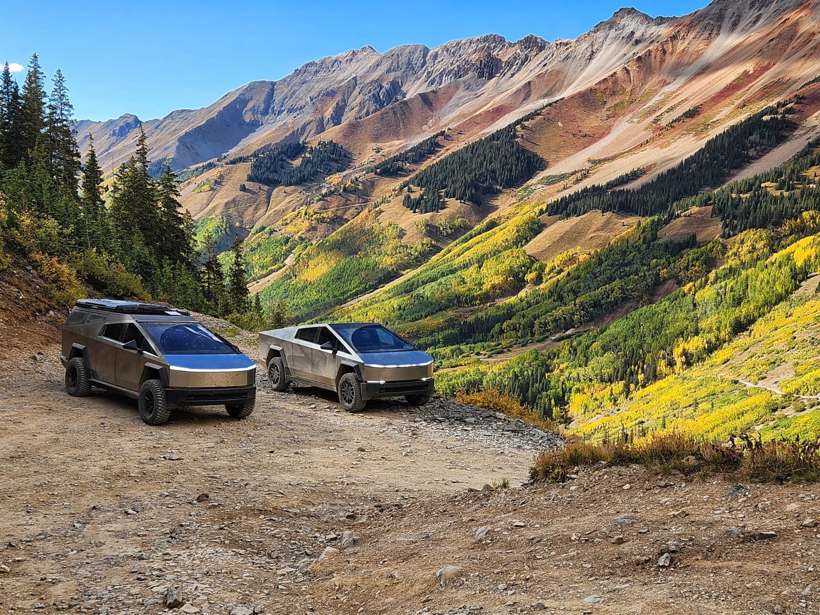
TELLURIDE 2026
September 24–27, 2026
Alpine passes, golden aspen, and mountain towns — strung together by the Million Dollar Highway, one of the most beautiful drives in America in the fall. Join us for a Cybertruck adventure through Colorado's highest country.
Want in on the next one? Join the list and we’ll email you when dates go live.
Gallery
Photos & Videos
Shots from the trails at Telluride 2026, shared by attendees. Upload your own and browse what everyone else captured.
Loading…
The Weekend
Four days of alpine passes through Colorado’s high country, linked by the Million Dollar Highway (US-550) between Ouray and Silverton. Come and go as your schedule allows.
Optionalin coordination withTelluride Autumn Classic📋 Subject to change. Weather and conditions move things around up here. Stay tuned to your email for updates — that’s where changes go out first.
Past daysWednesday & Thursday & Friday & Saturday
Wednesday
Sept 23Early arrivalsRoll into town, charge up, and grab dinner with whoever’s already here.
- Tonight
- Brown Dog Pizza · 110 E Colorado Ave, downtown · 6–8 PM. Informal — drop in whenever, no reservation.
- 1.Brown Dog Pizza — 110 E Colorado Ave · 6–8 PM 📍 navigate
Thursday
Sept 24Warm-up dayEasier trails to shake down the trucks before the big alpine days, with a lunch stop in Ouray.
- Meet
- Mountain Village Supercharger · 455 Mountain Village Blvd, upper level of the Gondola Parking Garage. Gather 9:30 AM, roll out 10:00 AM. 📍 navigate
- Charge
- Arrive with at least 65% — every day this weekend.
- Trails
- Both groups run the same trails in this order, staggered starts. Save the pins before you lose service.
- 1.Last Dollar Road — aspen corridor, easy grades, good warm-up 🗺️ details 📍 navigate
- 2.Lunch in Ouray — park at Fellin Park, quick burger at Maggie's Kitchen (705 Main St) 📍 navigate
- 3.Red Mountain Pass — via the U.S. Basin trail 🗺️ details 📍 navigate
- 4.Ophir Pass — the run back toward base 🗺️ details 📍 navigate
- Groups
- Two groups today, not three — the three-group split starts Friday. Guidelines, not assignments: switch in the morning if you'd rather. Radios are GMRS/FRS, no privacy or tone codes — Steve has spares.Kyle's group📡 Ch 18
Kyle Blach (lead) · Michael Bergren · AIBEAST · Paul Gutierrez · Charlie Hon · John Bacon · Tom Dillon · Sean McLellan · Nicky Keefer · Leslie Ragan · Tony Navarro · Cody Renshaw · Scott Shaver
Steve's group📡 Ch 19Stephen Kneubuehl (lead) · Karl Schaeffer · Carlos Landivar · Ken Klemczak · Andrew Riley · Chris Klumph · John Welle · Greg Wunderlich · Terrel Prince · Mark Sommer · Steve Haag · Eddie Haemmerle · Khoi Dinh
- Arriving late
- Missing the 10 AM roll-out is fine — run the trails on your own time or catch up along the route. Call or text Steve when you land.
- Evening
- Autumn Classic welcome reception — hangar party at Telluride Regional Airport with a Cybertruck light show.
- Or
- Skipping the hangar party? Uno Dos Tres Tacos & Tequila · 123 S Oak St · 6:00–7:30 PM. 📍 navigate
- Take it with you
- Full itinerary, rosters, trailhead GPS and emergency numbers in one printable page.
Friday
Sept 25Alpine dayThe big one, all of it above treeline. Group A runs Imogene / Yankee Boy; Groups B and C both run the Corkscrew route as separate convoys. Everyone converges downtown for the car show.
- Meet
- Mountain Village Supercharger · 455 Mountain Village Blvd, upper level of the Gondola Parking Garage — same spot as Thursday. Gather 8:00 AM, roll out 8:30 AM. Earlier today because these are long routes and we want the passes before the afternoon weather. 📍 navigate
- Charge
- Arrive with at least 70% — up from Thursday's 65. There's no charging anywhere near where we're going.
- Lunch
- On the trail, no town stop today. Pack food and water. Groups B and C stop at Animas Forks; Group A eats on the Yankee Boy spurs.
- Group A
- Imogene / Yankee Boy — the most technical of the three. Imogene over the top, then the Yankee Boy spurs. Trail start: Tomboy Road, Telluride.
- 1.Imogene Pass 🗺️ details 📍 navigate
- 2.Silver Basin — Yankee Boy spur 🗺️ details
- 3.Governor Basin — Yankee Boy spur 🗺️ details
- 4.Wrights Lake — Yankee Boy spur 🗺️ details
- 5.Drain out Yankee Boy Basin to Camp Bird Road 🗺️ details
- 6.Highway back to base
- Groups B & C
- Corkscrew / Hurricane / California — three passes, all rated moderate. B and C run the same route as separate convoys, and both regroup at the Ouray County Fairgrounds parking lot in Ridgway on the drive out before heading up Corkscrew. Group B meets Karl there.
- 1.Regroup: Ouray County Fairgrounds, Ridgway — first stop, before Corkscrew 📍 navigate
- 2.Corkscrew Pass — trail start on Co Rd 20 off US 550 🗺️ details 📍 navigate
- 3.Hurricane Pass — plus the jaunt toward Hurricane Peak 🗺️ details
- 4.California Pass 🗺️ details
- 5.Animas Forks — lunch stop 🗺️ details
- 6.Drain to Silverton
- 7.Back to base by highway or Ophir 🗺️ details
- Groups
- Three groups today — find your name. Stay with your own group and channel. Radios are GMRS/FRS, no privacy or tone codes — Steve has spares. Want a different route? Say so at the briefing.Group A · Imogene / Yankee Boy📡 Ch 18
Kyle Blach (lead) · Michael Bergren (sweep) · Sean McLellan · AIBEAST · Paul Gutierrez · Nicky Keefer · Charlie Hon · John Bacon · Tom Dillon
Group B · Corkscrew route📡 Ch 19Karl Schaeffer (lead) · Leslie Ragan (sweep) · Tony Navarro · Cody Renshaw · Scott Shaver · Carlos Landivar · Ken Klemczak · Terrel Prince
Group C · Corkscrew route📡 Ch 20Stephen Kneubuehl (lead) · Andrew Riley · Chris Klumph · John Welle · Greg Wunderlich · Mark Sommer · Steve Haag · Eddie Haemmerle · Khoi Dinh
- Conditions
- We're over 12,000 ft on every route, with real shelf-road exposure in places. Layers — near freezing at the passes, warm in the valley. Download offline maps; there's no cell service out there. If your lead calls a turnaround, that's the call.
- Afternoon
- Everybody, all three groups — off the trail and back in time. Work backward from 4:30 with your group lead.
- 1.4:30 — be at the Mountain Village Superchargers — same garage as the morning, top up if you need it
- 2.4:45 — parade down to town — we roll in together
- 3.5:00 — Cool Cars on Colorado street show — we're participating, our own CyberTrex section, free
- 4.6:30–7:00 — light shows — most likely in this window
- 5.by 7:00 — show wraps — dinner after is on your own, plenty of options on Colorado Ave
- Take it with you
- Full itinerary, rosters, trailhead GPS and emergency numbers in one printable page.
Saturday
Sept 26Imogene — all groupsChange of plan: no route rotation. All three groups run Imogene and the Yankee Boy spurs. Plus a relaxed track that meets at noon for anyone who'd rather sleep in.
- Meet
- Mountain Village Supercharger · 455 Mountain Village Blvd, upper level of the Gondola Parking Garage — same spot all weekend. Gather 8:00 AM, roll out 8:30 AM. Find your group lead for the briefing and radio check. 📍 navigate
- Charge
- Arrive with at least 70%. Charge overnight — there's nothing up there.
- Route — everybody
- Imogene Pass — 13,114 ft, the highest and most technical pass of the weekend. Trail starts on Tomboy Road right out of Telluride, past the Tomboy Mine ruins and over the top. All three groups run it with staggered starts, each on its own channel. Keep your spacing on the shelf sections.
- 1.Imogene Pass — over the top, 13,114 ft 🗺️ details 📍 navigate
- 2.Silver Basin — Yankee Boy spur 🗺️ details
- 3.Governor Basin — Yankee Boy spur 🗺️ details
- 4.Wrights Lake — Yankee Boy spur 🗺️ details
- 5.Drain out Yankee Boy Basin to Camp Bird Road — then the highway back to base 🗺️ details
- Lunch
- On the trail again — pack food and water. Bring layers, it's the highest and coldest day of the weekend, and download your maps. No service up there.
- Groups
- Same groups and channels as Friday — no need to re-sort. Radios are GMRS/FRS, no privacy or tone codes. Steve has spares in the garage.Group A · Imogene / Yankee Boy📡 Ch 18
Kyle Blach (lead) · Michael Bergren (sweep) · Sean McLellan · AIBEAST · Paul Gutierrez · Nicky Keefer · Charlie Hon · John Bacon · Tom Dillon
Group B · Imogene / Yankee Boy📡 Ch 19Karl Schaeffer (lead) · Leslie Ragan (sweep) · Art Abercrombie · Tony Navarro · Cody Renshaw · Scott Shaver · Carlos Landivar · Ken Klemczak · Terrel Prince
Group C · Imogene / Yankee Boy📡 Ch 20Stephen Kneubuehl (lead) · Andrew Riley · Chris Klumph · John Welle · Greg Wunderlich · Mark Sommer · Steve Haag · Eddie Haemmerle · Khoi Dinh
- Want to sleep in?
- The relaxed track — meets at noon, led by Mike Bergren. Three days of high alpine is a lot and there's no obligation to do a fourth. No sign-up, just show up at the Mountain Village Superchargers at noon.
- 1.The Ames power generation plant, out to Rico and back — an easy, scenic cruise
- 2.The waterfall up the back side of Bear Creek Pass — on the Telluride side
- Evening
- Autumn Classic happy hour & casino night · 5:00–9:30. No set start — come and go as you like. Optional and ticketed (~$156); it's the Autumn Classic's own event, not ours. 🎟️ Get tickets →
- Not doing casino night?
- Alternate dinner is The Patio in Telluride, 6:00–8:00. Informal — drop in whenever and find us.
- Take it with you
- Full itinerary, rosters, trailhead GPS and emergency numbers in one printable page.
Sunday
Sept 27Black Bear — three waysThe signature Telluride run to close the weekend — and we get there over Ophir Pass rather than the highway. Three ways to do it: the full run, up to the summit and turn around, or ride along and leave your truck in town. Most people head out Sunday evening.
- Meet
- Mountain Village Supercharger · 455 Mountain Village Blvd, upper level of the Gondola Parking Garage — same spot as every morning this weekend. Gather 8:00 AM, roll out 8:30 AM. Charge overnight. 📍 navigate
- Getting there
- We're running Ophir Pass to get over, not the highway. Instead of driving around on US-550, we cross to the Silverton side over Ophir, then up to the Black Bear trail start at the top of Red Mountain Pass. Adds a pass to the day rather than pavement.
- 1.Ophir Pass — the crossing over to the Silverton side, 11,789 ft 🗺️ details 📍 navigate
- 2.US-550 up to the top of Red Mountain Pass — the Black Bear trail start
- 3.Black Bear Pass 🗺️ details
- Main group
- Black Bear Pass — the signature Telluride run. Pick whichever of the three options suits you and tell us in the morning. See trail →
- 1 · The full run
- Black Bear start to finish — over the 12,840-ft summit, into Ingram Basin above Bridal Veil Falls, then down the one-way switchbacks into downtown Telluride.
- 2 · Summit and turn around
- Come up to the top of Black Bear with us and turn around there. You get the summit and the views without committing to the switchback descent — the easier way to do the day. No pressure either way, and nobody's counting.
- 3 · Ride along
- Leave your truck in Telluride and ride with someone else. Best seat in the house if you'd rather shoot photos than steer. Show up at 8 and we'll find you a seat.
- Groups
- Groups and running order get sorted at the morning briefing.
- Take it with you
- Full itinerary, trailhead GPS and emergency numbers in one printable page.
📡 Radios
We run GMRS/FRS channels 15–20, no privacy or tone codes. With groups rotating between routes, each group gets its own channel — assignments come at the briefing. Bring a handheld if you have one; cell service disappears fast once you’re over the passes.
Who Was There
The crew that made the 2026 run
Want in on the next one? Join the list and we’ll email you when dates go live.
Community
Announcements & Discussion
Stay up to date with the latest announcements, and coordinate with other attendees — camping plans, trail buddies, carpools, and anything else.
Loading…
The Trails
The signature passes around Telluride and the full Alpine Loop network out of Silverton, Ouray, and Lake City. Routes will be assigned to groups closer to the event.
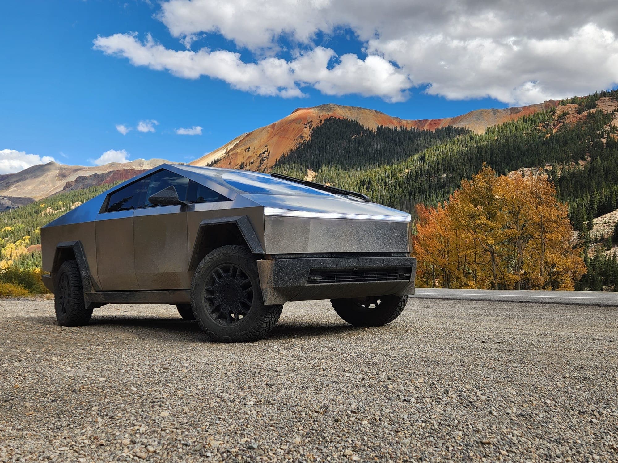
Red Mountain Pass (U.S. Basin)
Officially U.S. Basin, and known to plenty of people simply as Red Mountain Pass — a beginner-rated out-and-back climbing to 12,126 ft in the heart of the Red Mountain Mining District. The Colorado silver boom of 1882–1893 literally began on this trail, and the mines are still scattered all over it, including the famous Yankee Girl. Big open views of the San Juans across the stretch people call the Switzerland of America. Easy enough for any rig in the group, which is exactly why it works as a Thursday shakedown run.
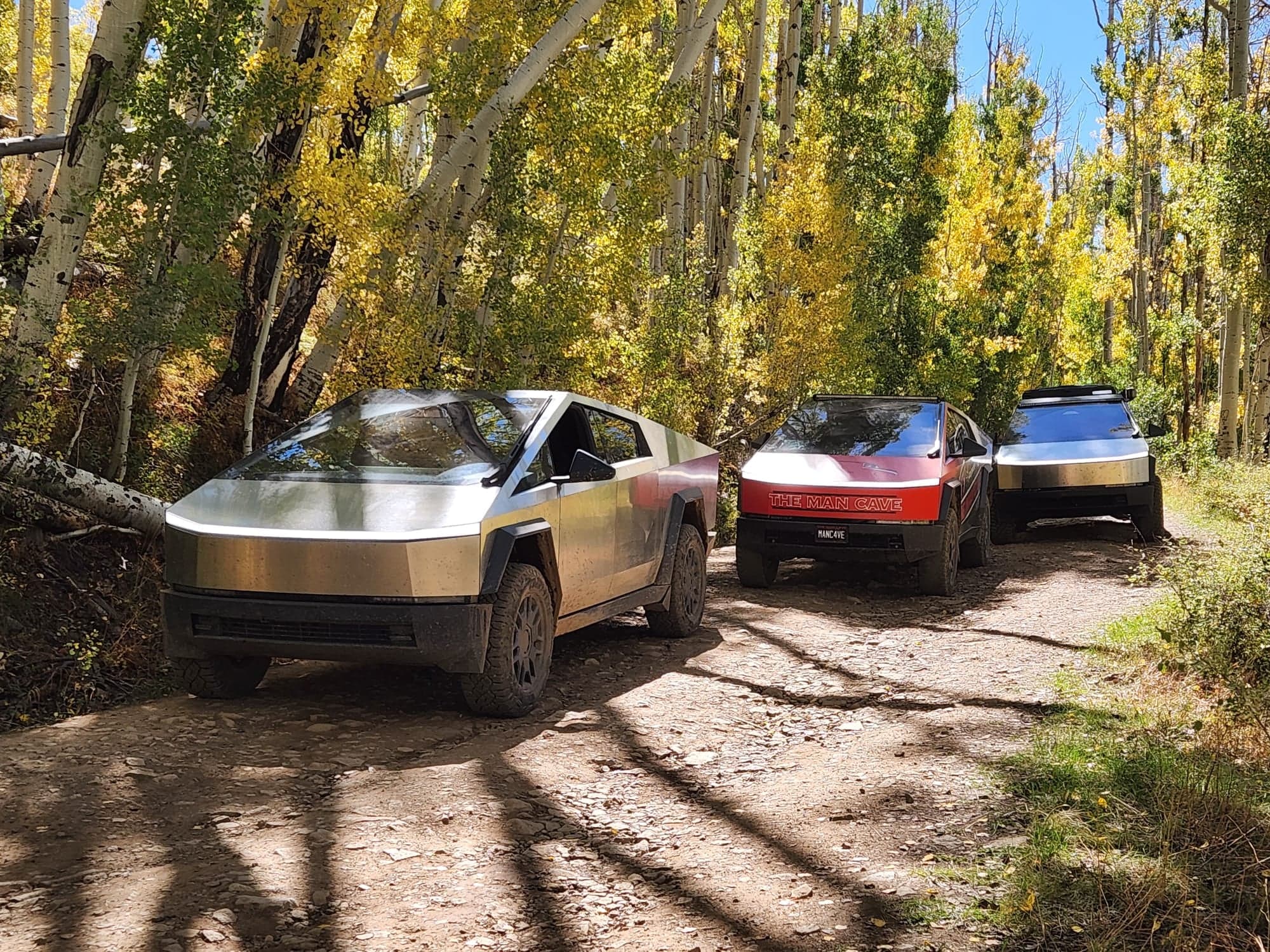
Last Dollar Road
The classic Telluride warm-up — a mostly-gravel road winding from Ridgway through golden aspen meadows and ranch country into Telluride. No technical obstacles, just postcard scenery the entire way: 14,000-ft peaks, fall color (in season), and the Mount Sneffels range. Featured in countless films and a perfect first run for any rig.
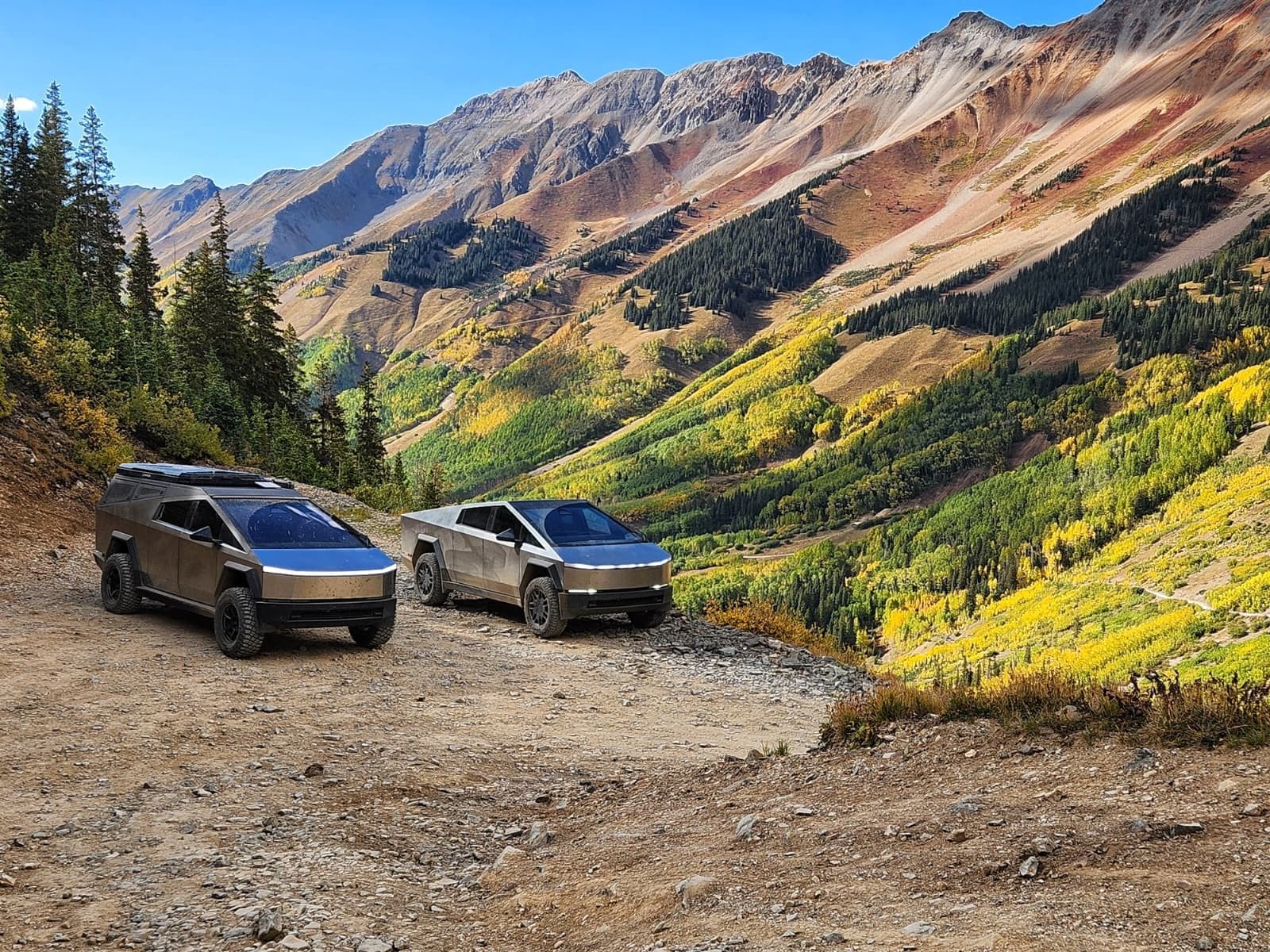
Ophir Pass
A high San Juan crossing linking Telluride and Silverton over an 11,789-ft summit. The route climbs out of the Ophir townsite through evergreen forest, then breaks above treeline onto a rocky shelf road carved across talus slopes. The east side (descending toward Silverton) is the narrowest section — single-lane with limited pullouts and downhill traffic generally yields. One of the more scenic and accessible high passes in the region.
Imogene Pass
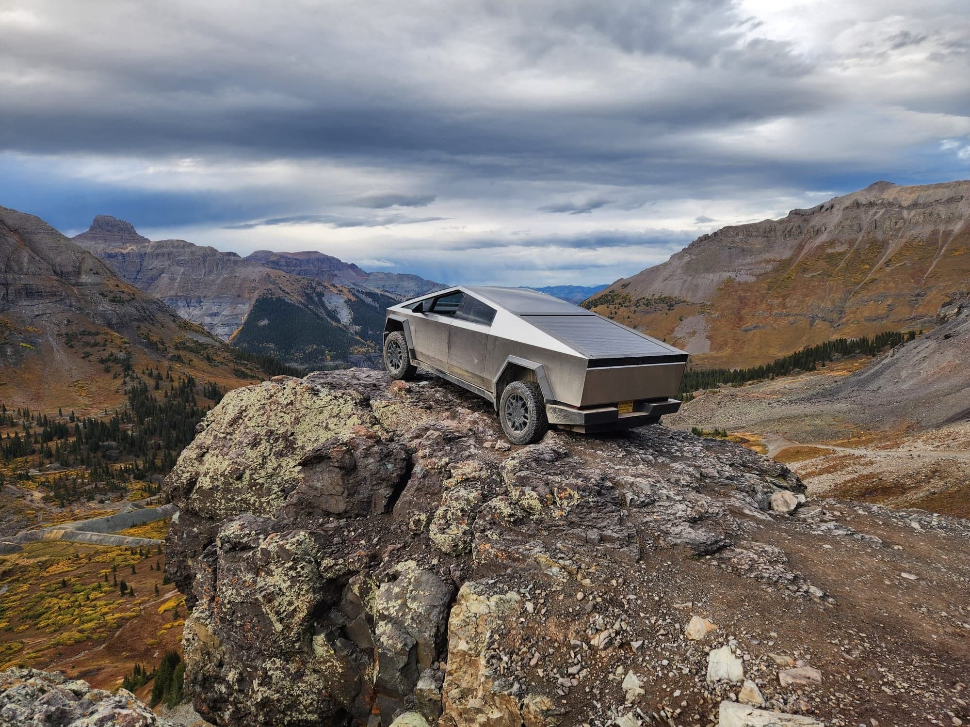
Colorado's second-highest drivable pass at 13,114 ft, connecting Telluride to Ouray over the Sneffels Range. The Telluride side climbs past Tomboy ghost town through old mining country; the Ouray side drops past the Camp Bird mine into Yankee Boy Basin. Narrow, rocky, and exposed near the summit — switchbacks tighten significantly near the top and traffic management above treeline can be tricky. A bucket-list run, but not where you want to learn the rig.
Black Bear Pass
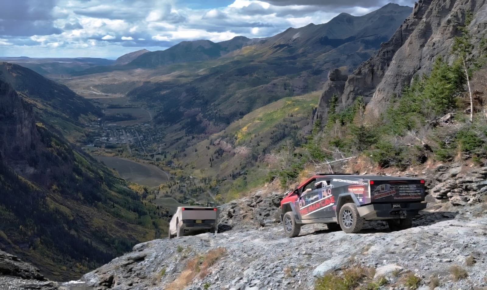
The most photographed (and most infamous) trail in Colorado. From US-550 at the top of Red Mountain Pass, Black Bear climbs to 12,840 ft, drops into the Ingram Basin above Bridal Veil Falls, then descends a series of single-vehicle, one-way switchbacks so tight that most full-size trucks require multi-point turns to navigate them. Stunning beyond description — but the switchback section is genuinely the technical limit for a Cybertruck's wheelbase and width. Plan to inspect on foot before committing, and have a turnaround plan if the rig won't fit.
Engineer Pass
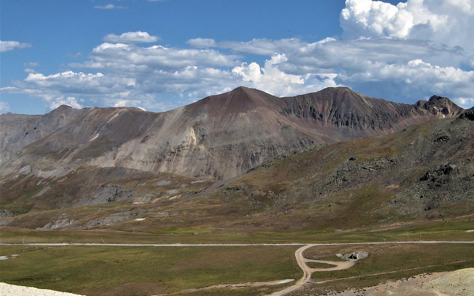
The eastern crown of the Alpine Loop, crossing 12,800 ft between Lake City and the Animas River valley. The west side drops past Whitmore Falls and through Engineer Mountain's alpine bowls. The Ouray side (off the Mineral Creek spur) is markedly more difficult — narrow shelf road with serious exposure, often the technical highlight of the Loop. Connect Engineer + Cinnamon for the classic figure-eight Alpine Loop day.
Cinnamon Pass
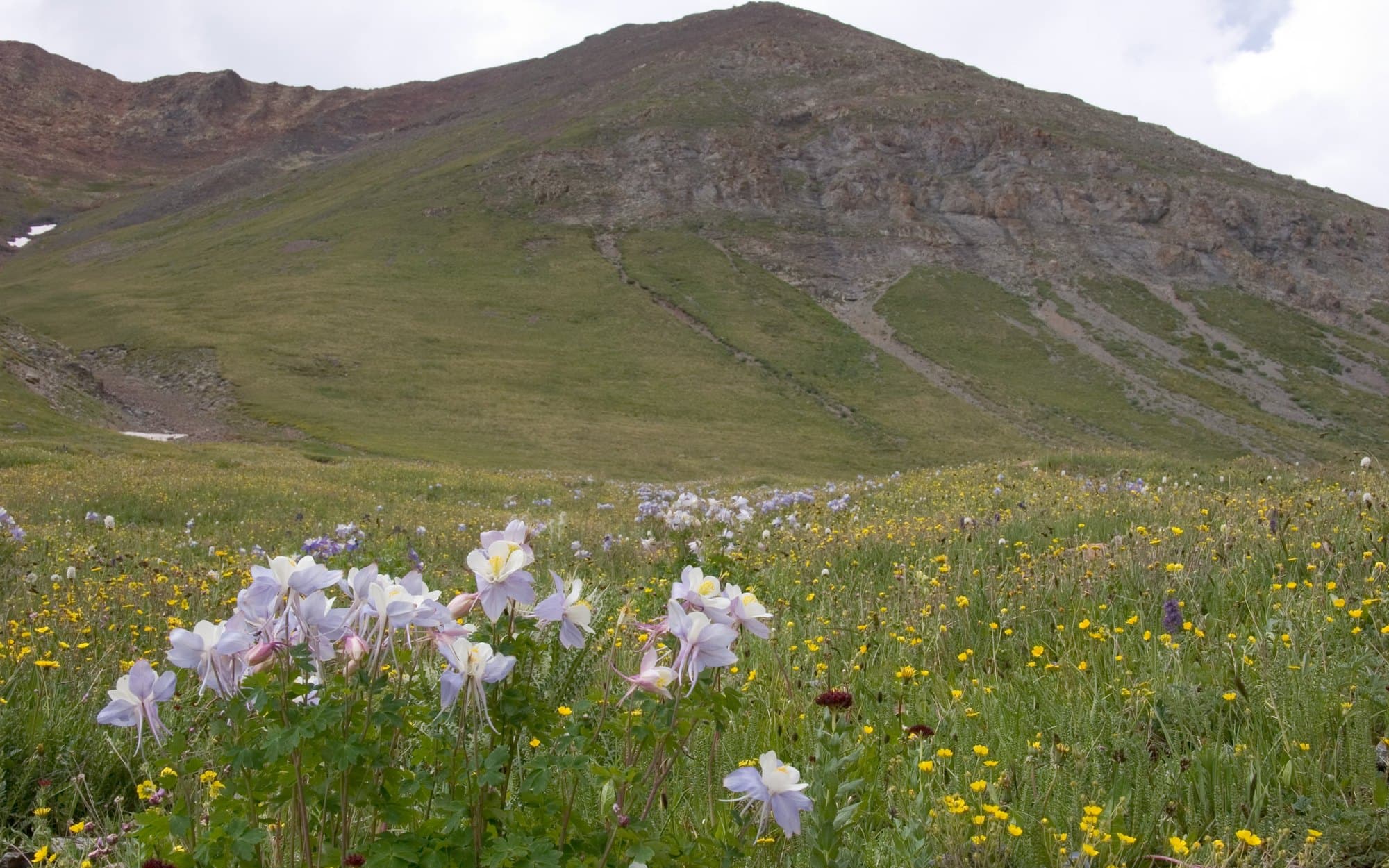
The mellower southern half of the Alpine Loop, topping out at 12,640 ft. The route follows the Lake Fork of the Gunnison through Sherman ghost town and the American Basin (one of Colorado's most photographed wildflower meadows in July), then climbs to the summit before dropping into Animas Forks. Wide, well-graded, and friendly to a wide range of rigs — the perfect counterpart to Engineer's more technical west side.
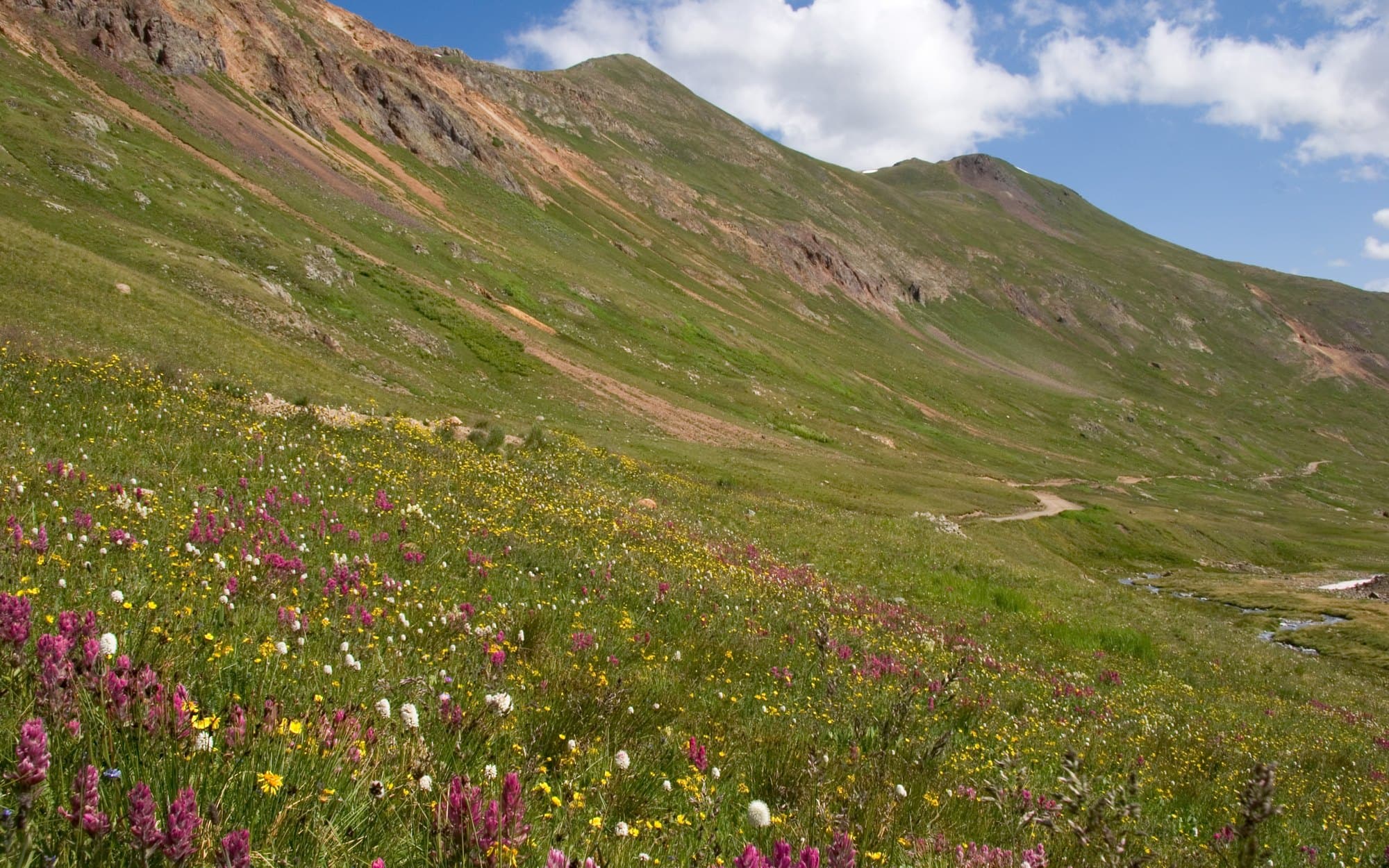
California Gulch (California Pass)
A short, scenic spur off the Alpine Loop connecting Animas Forks to Hurricane Pass and Corkscrew Gulch. The trail climbs past the well-preserved Frisco Mill ruins through high alpine basins above 12,000 ft. Rocky surface, several stair-step ledges, and a few tight pinches near the upper end — generally rated harder than Cinnamon but easier than Black Bear. The connector that makes the full Alpine Loop figure-eight possible.
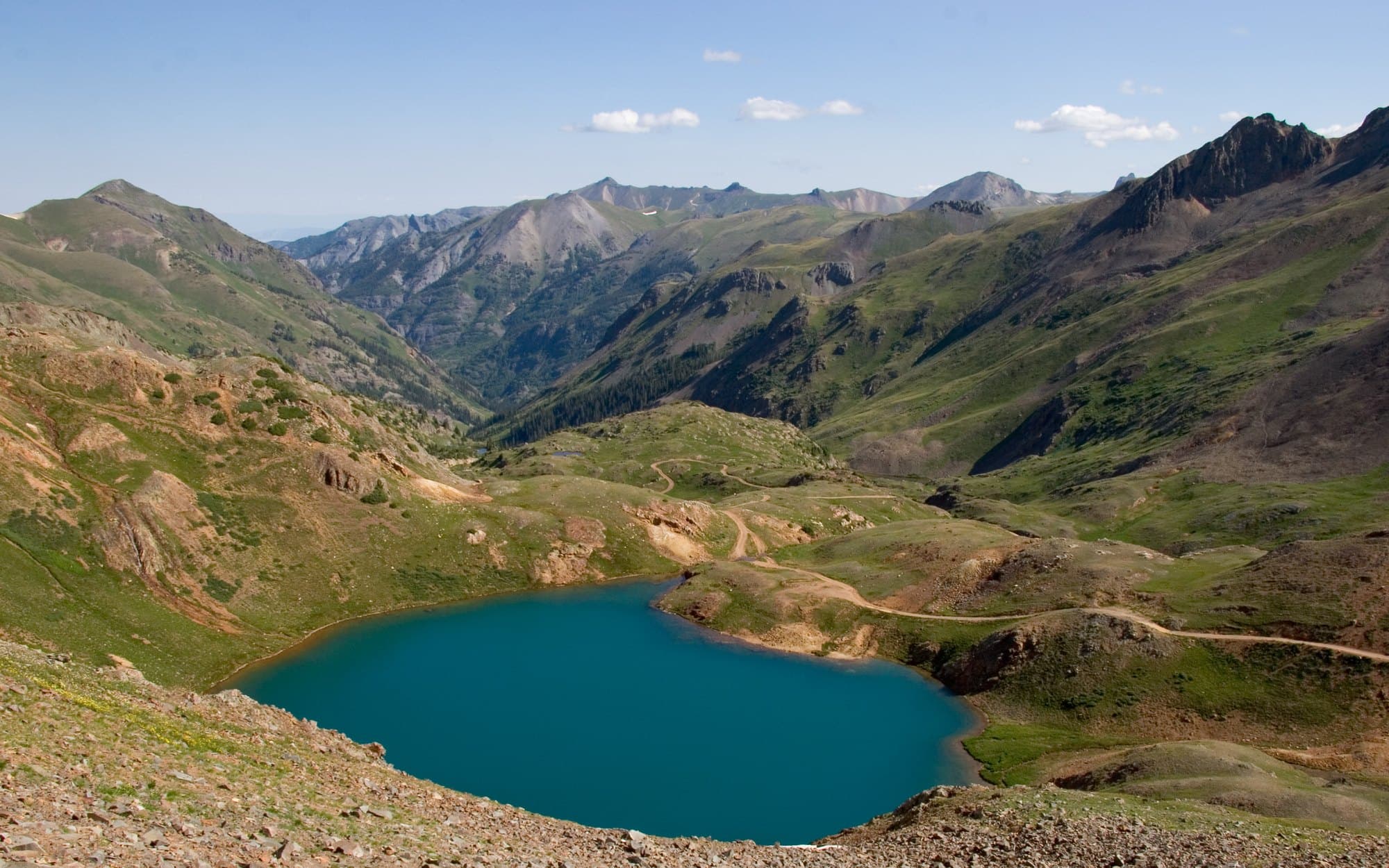
Hurricane Pass
At 12,729 ft this is the highest road we touch all weekend, and it is entirely above timberline — high alpine wildlife is a regular sighting. The route climbs steeply up between Hurricane Peak and Brown Mountain, linking California Pass with Corkscrew and County Road 2 to form one of the many takes on the Alpine Loop. Rated mildly technical rather than punishing, so the effort-to-payoff ratio is excellent. There is a jaunt off the main pass road up toward Hurricane Peak (the summit itself is about 13,443 ft) which makes a natural lunch stop with the whole San Juan range laid out around you.
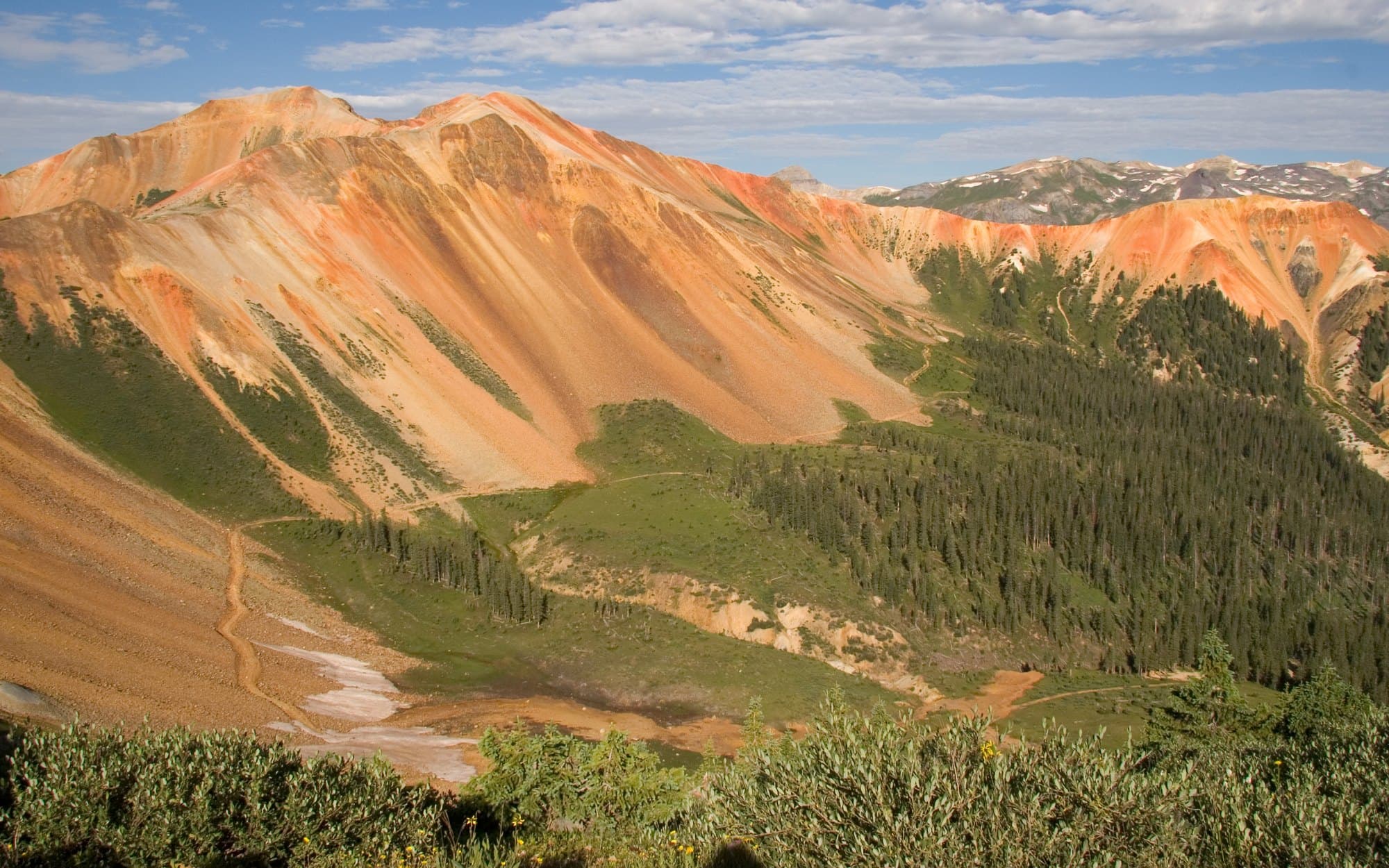
Corkscrew Gulch (Corkscrew Pass)
A classic west-Silverton trail named for the tight switchbacks climbing out of the Red Mountain mining district. Drops off US-550 just south of Red Mountain Pass and corkscrews up through bright orange mineralized slopes to Hurricane Pass / California Gulch junction. The switchbacks are tight but generally manageable; the real story is the otherworldly red/orange color of the surrounding peaks (the namesake of Red Mountain).
Mineral Creek
The west-to-east gateway into the Alpine Loop, starting on US-550 just south of Ouray — not Silverton, which is a common mix-up worth getting right before you go looking for the turnoff. Mineral Creek climbs roughly 1,500 ft in the first 2.5 miles, runs a picturesque shelf section, crosses a stream, and delivers you to the Engineer Pass and Poughkeepsie Gulch junctions. It is the most technical route in our Friday and Saturday rotation: the trail's own guide warns of multiple rock obstacles that will have you pausing to pick a line, plus narrow sections where oncoming traffic is a genuine problem. In a full-size truck, that narrowness is the thing to respect.
Yankee Boy Basin
One of the most popular 4x4 routes in Colorado, and deservedly so: evergreen forest opening into some of the best wildflower fields in the state, waterfalls, alpine lakes, and 14,150-ft Mt. Sneffels framing the whole basin. Its own guide pitches it as the way to soak in the very best of Colorado without being on a scary road — true, with one caveat. The road is easy as far as Twin Falls; the difficulty is concentrated in the last 2–3 miles, where there are rocky sections that need good line choice and a reported drop of about two and a half feet just past the falls. That staging is useful for us: a bigger rig can enjoy the basin to Twin Falls and turn around before the technical upper section, and the switchbacks above lead to Wrights Lake at roughly 12,170 ft.
Wrights Lake
The top end of the Yankee Boy Basin road and the highest point of the Yankee Boy group's day at roughly 12,170 ft. Past Twin Falls the road stops being a scenic cruise: rocky sections that need real line choice, a notable drop just beyond the falls, and a set of tight switchbacks climbing the headwall to the lake itself. The reward is a shallow alpine lake sitting in a bowl directly under the Sneffels ridgeline, well above timberline, with the whole basin falling away behind you. This is the optional upper leg — anyone not comfortable putting a full-size truck through the switchbacks can turn around at Twin Falls and still have had the best of the basin.
Silver Basin
A short spur off Camp Bird Road and, unlike its busier neighbors, typically a quiet drive where you would be surprised to see another vehicle. Wildflowers, old mines, waterfalls, clear alpine lakes, and views into the southern Sneffels Range, ending at a pair of glacial lakes at treeline. Steepness is the whole character of this one — the guide's phrasing is that your vehicle will be pointed skyward for most of the journey. Under two miles, but it is sustained grade plus rock, which is the combination that matters most for a long wheelbase and low breakover.
Governor Basin
Yankee Boy's quieter sister trail — same caliber of scenery, a fraction of the traffic. Jagged St. Sophia Ridge dominates the views, wildflowers peak in late July, and the route ends high above timberline at the remarkably well-preserved Mountain Top Mine. Rated on the line between moderate and difficult, and the named hazard is exposure rather than technical obstacles: as one driver put it, the road is not that difficult but you do need to pay attention through the shelf sections, and sometimes the hardest obstacle in the San Juans is the scenery.
Camp Bird Road
The access corridor for the entire Yankee Boy network and our drain-out route back to US-550. An easy gateway into the mountains above Ouray, winding five miles up into the Uncompahgre National Forest along Canyon Creek with waterfalls in view and earshot, past numerous designated campsites, ending right where Yankee Boy Basin begins. Rated 2 out of 10 with a single flagged concern — nothing here suggests a width or clearance problem for a full-size truck. The history is the other draw: the Camp Bird Mine produced roughly 1.5 million ounces of gold and 4 million ounces of silver between 1896 and 1990. Thomas Walsh found it in 1896 and sold out for $5.2 million in 1902; his daughter Evalyn Walsh McLean went on to buy the Hope Diamond. The name comes from the camp birds that helped themselves to the miners' lunches.
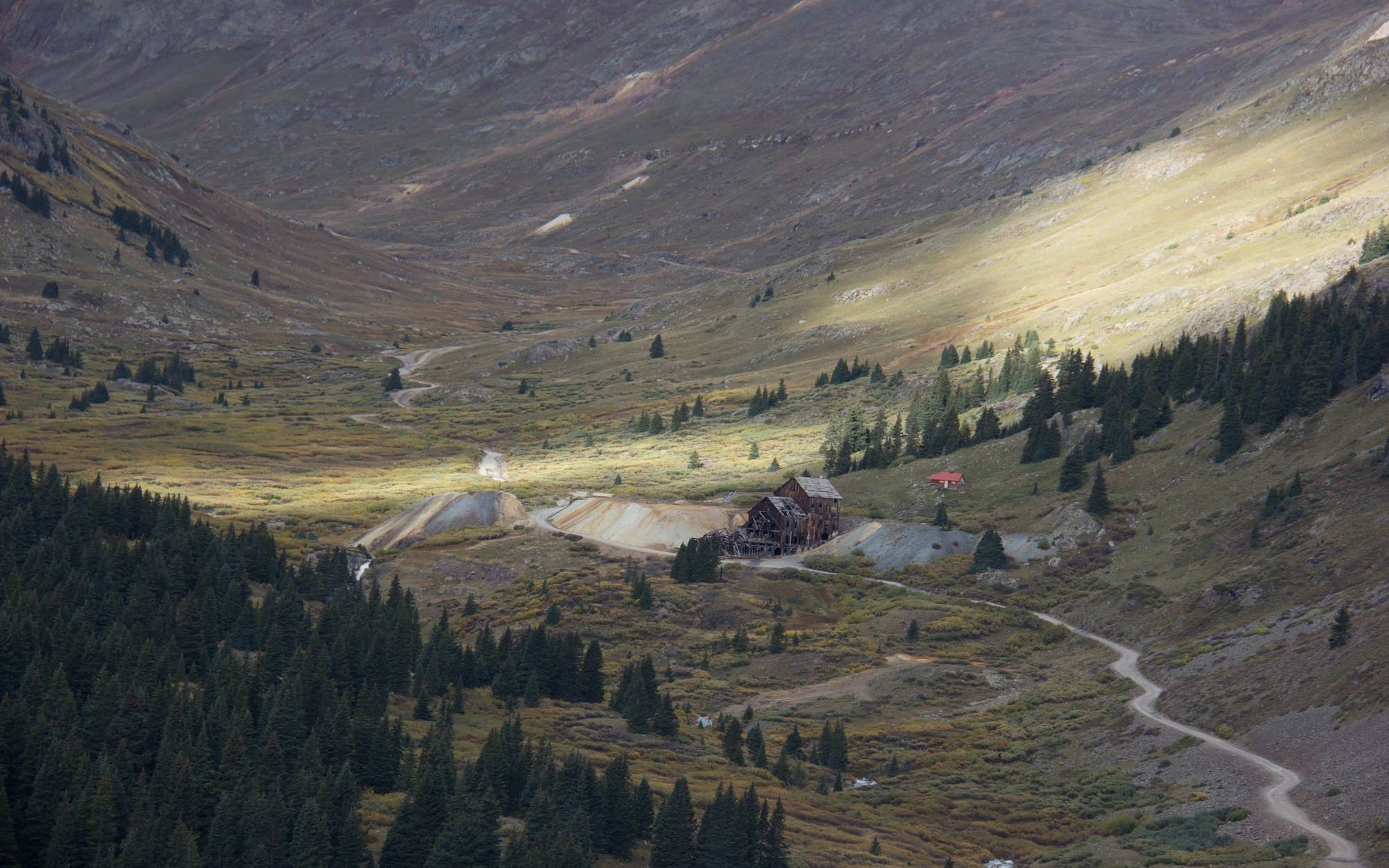
Animas Forks
The geographic and historical hub of the Alpine Loop. A well-preserved 1870s mining ghost town at 11,200 ft, sitting at the junction of Cinnamon Pass, Engineer Pass, and California Gulch. The drive in from Silverton via CR-2 is wide and graded — not technical at all — and the ghost town itself is the day's centerpiece for many Alpine Loop runs. The famous Walsh House (with bay windows facing the valley) is worth the stop alone.
Trail conditions, group assignments, and final route picks will be announced as the event approaches. High-pass routes typically run July through September — we’ll be there in the gold-aspen window.
Camping
Forest Service campgrounds and dispersed sites around Telluride. Late September is peak aspen season up here — and cold at night. Every option below is first-come, first-served, so arrive early.
⛺ Campgrounds & Dispersed Sites
Mary E Campground
Ilium Valley, ~18 min from town. 20 sites with fire rings and picnic tables, lowest and warmest of the bunch. No 4WD needed — trailers and RVs up to 40 ft. Open July 2 – Oct 1.
Sunshine Campground
Right off Hwy 145, ~8.5 mi from town. 15 paved sites in dense aspen with a small mountain lake and Sunshine Peak views. Pay on arrival via the Recreation.gov app.
Season is listed only as “late spring to early fall” — we have not been able to confirm it stays open through September 24–27. Call before you count on it.
Alta Lakes Campground
20 undeveloped sites in an alpine lake basin above the historic Alta ghost town. Spectacular and free — the aspen climb in is a fall-color highlight. Fishing and non-motorized boating.
High-clearance vehicle required, no trailers or RVs. At 11,200 ft this gets genuinely cold in late September and an early snow can close the access road with no notice.
Last Dollar Road (FSR 638) — Dispersed
Free dispersed camping along the forest road, turnoff ~3–4 mi west of Telluride. Spruce, fir and aspen with Wilson Peak views — the Forest Service calls it out as a fall-color drive. Sites start a few miles up, near the Deep Creek Trailhead.
Extremely slippery when wet and portions become impassable. High-clearance 4WD recommended. No toilets, no water, no trash — pack everything out.
🔥 Fire restrictions have been lifted: The Stage 2 restrictions that covered our dates are no longer in effect, so campfires are allowed again in established fire rings at the developed campgrounds. Still be smart about it — use existing rings, keep it small, and drown it out cold before you turn in. Restrictions can come back with little notice, so check before you head out.
⚡ No charging at camp: None of these campgrounds have electrical hookups — the only power in the bunch was at Matterhorn, which is closed for our dates. If you’re camping, plan on charging in Mountain Village. See the charging section →
📋 Good to know: Every option here is first-come, first-served — none of them take reservations, so we can’t hold a block for the group. Arrive Wednesday or early Thursday if camping matters to you, especially with the Autumn Classic in town the same weekend. Only Mary E has trash service; assume pack-it-out everywhere else. No potable water at any of these four, so bring your own.
🚿 Showers: None of the campgrounds have them, but the Telluride Town Park Pool runs a public shower facility at the pool entrance, open 7:00am–10:00pm. It’s $4 for 5 minutes of hot water, or $1 for a single 75-second token. There’s a token machine outside the restroom that takes bills only — no cards, no coins — and the office can’t buy tokens back, so only buy what you’ll use. Bring small bills. Sunshine Campground also has showers for $8 if you’re staying out that way.
Prices, elevations and season dates are drawn from Forest Service and Recreation.gov listings and can change.
Hotels & Lodging
Telluride and Mountain Village, ranked for how well they work for a Cybertruck — on-site charging, real parking, and easy access to the trailheads and downtown.
📣 Book now, seriously. The Telluride Autumn Classic runs our exact weekend and it’s peak aspen season — several in-town hotels are already showing no availability for September 24–27. If a property below looks full online, call them directly — direct inventory often exists when the booking sites are picked over.
Renting a house or condo instead? The Autumn Classic rates apply there too — Accommodations in Telluride (code ACT26, 20% off 4+ nights), Lodging in Telluride (CLASSIC26) and LocalVR (AutumnClassic10).
🔌 Best for Cybertrucks — on-site EV charging
Mountain Lodge Telluride
Mountain Village. Cabins and lodge rooms with a big stone fireplace lounge. Five EV ports on site (Tesla Destination + Rivian Waypoint) and it sits about 0.2 mi from the Supercharger — the best charging logistics of any property here. Book direct with Autumn Classic code CARS26 for 20% off two nights, 25% off three or more.
The Peaks Resort & Spa
Mountain Village. The largest resort in Telluride — 190+ rooms and condos, full spa and ski-in access. Five EV ports. Best odds of finding a block of rooms for a group this late, and they publish a discounted Autumn Classic rate when you book direct.
Element 52, Auberge
Telluride town. Two- and three-bedroom residences a 0.3 mi walk from Colorado Ave. Two EV ports and free parking — rare in town. Splits well across four to six people if you’re sharing.
🏨 Value & easy parking
Bear Creek Lodge
Mountain Village. Condo-style units with kitchens and free on-site parking. No EV charging on site, but the Supercharger is a five-minute drive. An Alpine Lodging property — code CARS26 takes 15% off.
Mountainside Inn
Telluride town. The cheapest in-town option we found, with on-site parking and a 0.3 mi walk to downtown. Managed by Alpine Lodging — ask for 15% off with code CARS26 (970-728-3388).
The Bivvi — Placerville
A 20-minute drive down Hwy 145. Upscale hostel with private rooms, suites and dorm beds, on-site dining and free parking. By far the best budget play anywhere near the event.
🛣️ If town is full
Placerville is the closest cheap bed — 20 minutes out, from $177. Montrose is 1 hr 20 min but has real chain-hotel inventory from about $101 a night and the most charging in the region (Supercharger, Electrify America and Rivian, 20+ ports) — you can sleep and charge in one stop on the way in. We’d skip Ridgway: only a handful of properties and they’re pricier than Telluride itself.
⚠️ Two things to know before you book
- Trailers: most Telluride and Mountain Village lodging cannot accommodate trailer parking. If you’re towing, sort it out with your property before you arrive — or drop the trailer in Montrose. The Gondola Garage charges $60 overnight for truck-trailer combos over 24 ft.
- No sleeping in the truck. Car and RV camping is prohibited in public lots, on streets and in rights-of-way throughout Telluride, Mountain Village and Lawson Hill. Use a campground or a room.
Rates are snapshots from late August 2026 for a three-night stay and will move — treat them as ballpark, not quotes. Confirm EV charging access when you book; resort chargers are generally for staying guests.
Charging
Telluride is a box canyon at 8,750 ft with one fast-charging site in the whole basin. Plenty of power for the weekend — but worth a plan.
⚡ Tesla Supercharging
Mountain Village Supercharger
Primary250 kW
8 stalls · Tesla V3
455 Mountain Village Blvd — upper level of the Gondola Parking Garage
Our home charger for the weekend. Covered garage, free daytime parking, open 24/7, and the gondola into Telluride leaves from the same building. Pull-in stalls — not trailer friendly.
🔌 Tesla Destination Charging (hotels)
Overnight Level 2 at the resorts — the easy way to start every trail day full. These are for staying guests, so confirm access when you book. There are only about 16 ports across all five properties, so claim one early.
The Peaks Resort & Spa
5 ports · Mountain Village
Mountain Lodge Telluride
3 Tesla + 2 Rivian · Mountain Village
Inn at Lost Creek
3 ports · Mountain Village
Lumière Hotel Telluride
3 ports · Mountain Village
Element 52, Auberge
2 ports · Telluride town
🅿️ Other Networks
Mountain Village Level 2 — ChargePoint
Level 2
6 ports · ChargePoint
Gondola Garage · Heritage Garage (P1) · Meadows Lot
Three dual-port stations, $0.20/kWh, ChargePoint account required. Watch the idle fee — see the warning below.
Telluride Regional Airport
Level 2
6 ports · ChargePoint
1500 Last Dollar Rd — same road as the hangar party
Six ports at the airport, open 24/7. Handy if you're already up there for an Autumn Classic event.
Montrose — top up on the way in
150–250 kW
20 ports · Tesla + Electrify America + Rivian
Montrose, CO · 66 mi / ~1 hr 20 min from Telluride
The most charging capacity in the region by far: 8-stall Supercharger, 6 Electrify America, 6 Rivian Adventure Network, plus more. If you're driving in from the north, arrive in Telluride at 80%+ and you can forget about charging for a day.
Ouray Hot Springs Pool
50 kW
2 ports · ChargePoint
1230 Main St, Ouray · 50 mi / ~1 hr
Two CCS/CHAdeMO ports, power-limited to 50 kW despite what the connectors suggest. Fine as a backstop at the north end of Imogene, not a real overflow option.
⚠️ The Mountain Village idle fee will bite you
Town ChargePoint stations are $0.20/kWh, and you get a one-hour grace period after your session completes before a $10 per hour dwell charge starts. Regular parking fees apply on top, charging or not. Set a timer, and don’t leave it plugged in overnight on a Level 2 unless you’re actually still charging.
📍 There is no public charging in Telluride town
Worth knowing before you plan your days: the Town of Telluride has no municipal EV charging. Everything above is in Mountain Village or at a hotel — Mountain Village is the charging hub for this event.
Recommended charging plan
- Arrive at 80%+. Top up in Montrose, Cortez or Durango on the way in. It saves you fighting for a stall on night one.
- Charge overnight if you can. A hotel Level 2 session adds roughly 200 miles while you sleep — more than enough for any trail day here.
- Stagger the Supercharger. Eight stalls is plenty for our group as long as we don’t all show up at once. Best windows are early morning before roll-out and late evening after dinner. Avoid the 4–7 p.m. crunch, especially Friday when the street show is on.
- High-alpine trails eat range. Black Bear, Imogene and the Alpine Loop are steep, slow and cold. Start trail days above 80% and you’ll have a comfortable margin.
A four-post 350 kW fast-charging station is planned for the Gondola Garage, but it isn’t scheduled to open until summer 2027 — don’t plan around it this year.